Last Update 5/27/2024
Impact of Digital Agriculture
Digital agriculture is transforming the way we understand and manage our agricultural landscapes, and one area where this is particularly evident is in the mapping of above-ground carbon and the monitoring of below-ground carbon sequestration. Advanced satellite imaging technologies, paired with machine learning algorithms, are enabling unprecedented accuracy in mapping the carbon storage potential of forests, croplands, and pastures. These maps help farmers and policymakers make informed decisions about land use and conservation strategies.
On the other side of the soil line, digital sensors, and Internet of Things (IoT) devices are employed to assess the rate of carbon sequestration below ground. These technologies continuously monitor soil health, moisture levels, and microbial activity, offering real-time data that optimizes farming practices for enhanced carbon capture. These digital tools not only help assess current carbon stocks but also facilitate dynamic management practices that contribute to climate change mitigation. By integrating above-ground and below-ground data, digital agriculture provides a holistic approach to sustainable land management, offering promising pathways for the agriculture sector to play a critical role in the fight against climate change.
Our innovative approach
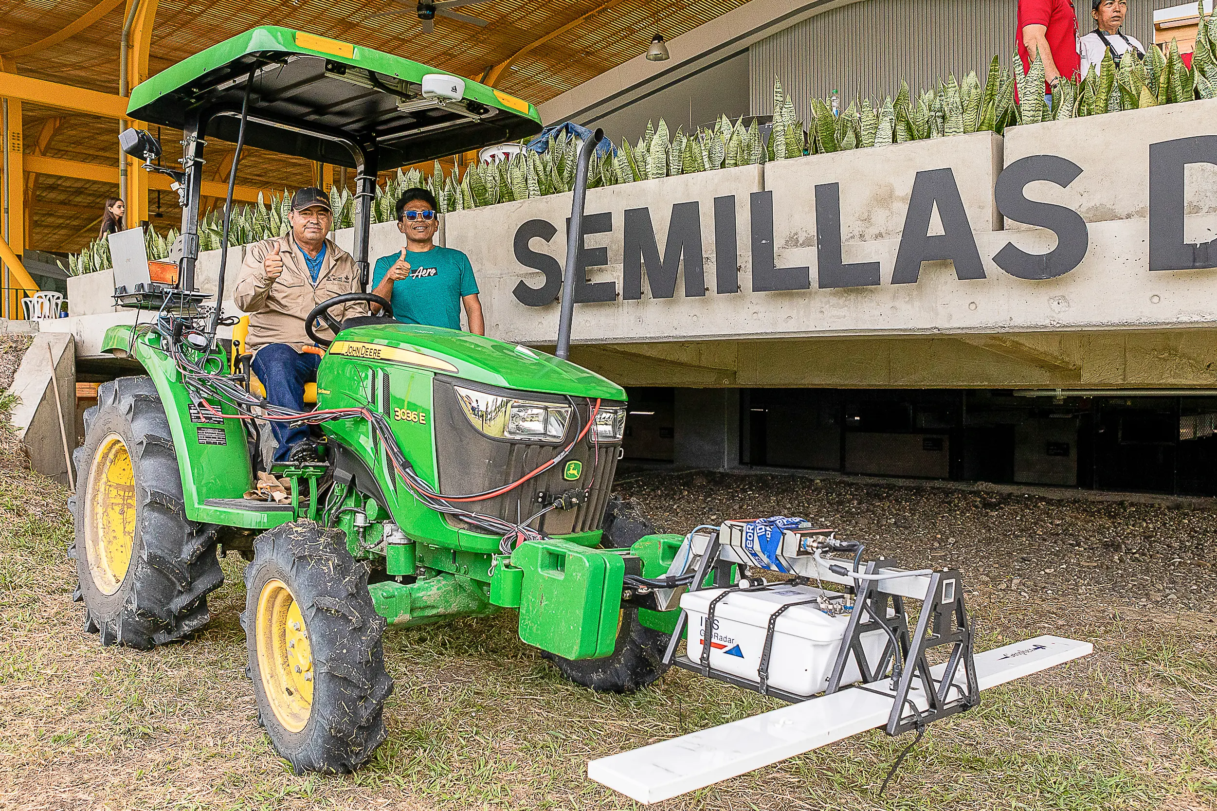
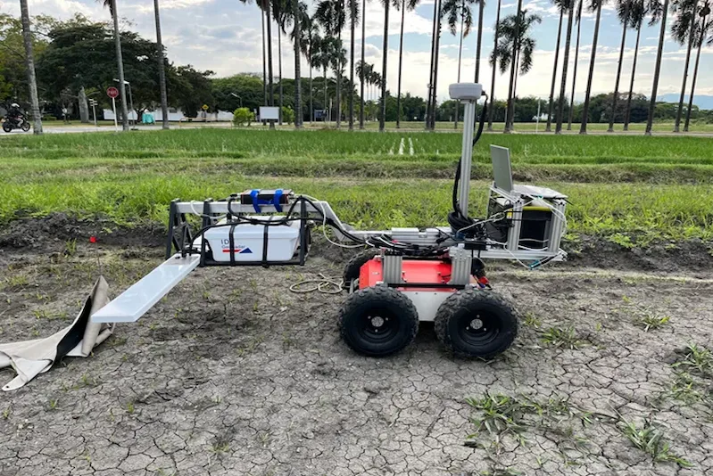
In our research, we are taking digital agriculture a step further by integrating aerial imagery with ground-based sensors to provide a comprehensive view of both above and below-ground carbon mapping. By utilizing drones equipped with high-resolution cameras and multispectral sensors, it becomes possible to capture aerial data that can identify tree canopy density, vegetation health, and even species-level information. This above-ground data is then algorithmically analyzed to estimate the carbon storage potential of a given area. Simultaneously, ground sensors equipped with IoT technology are deployed to measure soil moisture, nutrient levels, and microbial activity, all critical factors in assessing the soil’s capacity for carbon sequestration.
Outcomes / Outputs
Drone-based biomass prediction and remotely sensed carbon mapping represent the forefront of technology-driven solutions in agriculture and environmental science. By using drones fitted with multispectral cameras and LIDAR sensors, it becomes possible to capture intricate details about vegetation cover, height, density, and health at a much higher resolution than satellite imagery can provide. This high-resolution aerial data is then processed through machine learning algorithms to predict biomass, which is directly related to the amount of carbon stored in vegetation. For instance, drone technology can measure the leaf area index, canopy structure, and even the chlorophyll content, all of which are crucial variables in estimating biomass and, consequently, the carbon sequestration potential of an area.
Future steps
Contact
Michael Gomez Selvaraj
Digital Agriculture Leader
m.selvaraj@cgiar.org
Gallery
Publications
35 Ways Real People Are Using A.I. Right Now
How Can AI and Deeper Roots Help Soil to Store more Carbon?
Assessing methane emissions
Tools
Lorawan Station
Tumaini App
Rice Observatory

The Alliance of Bioversity International and CIAT is part of CGIAR, a global research partnership for a food-secure future.
Contact
Alliance of Bioversity International and CIAT
Latin American Hub
Palmira – Colombia
Address: Km 17 Recta Cali-Palmira
Phone: (+57) 6024450000


